Keep in mind
Keep your belongings secure and carry a small first aid kit. Always bring enough drinking water and be mindful of the sun, especially during summer, as there is little to no shade along the walks.
Check the weather before starting your walk. Choose a walk that suits your ability and stop if it becomes too challenging.
Route description
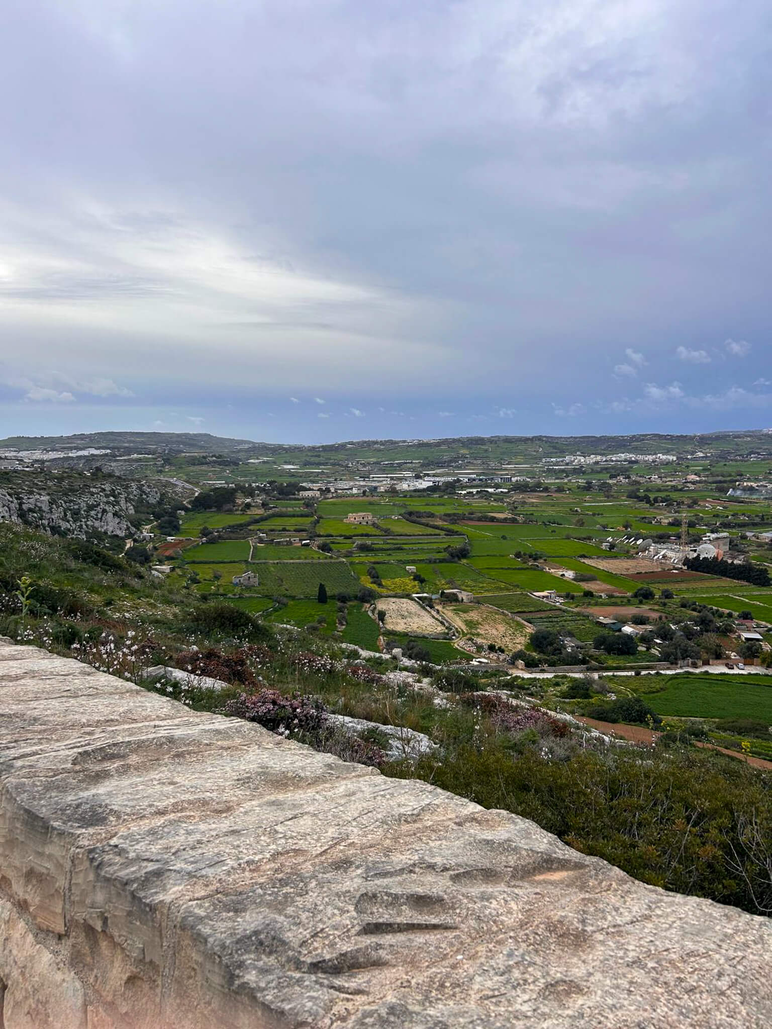
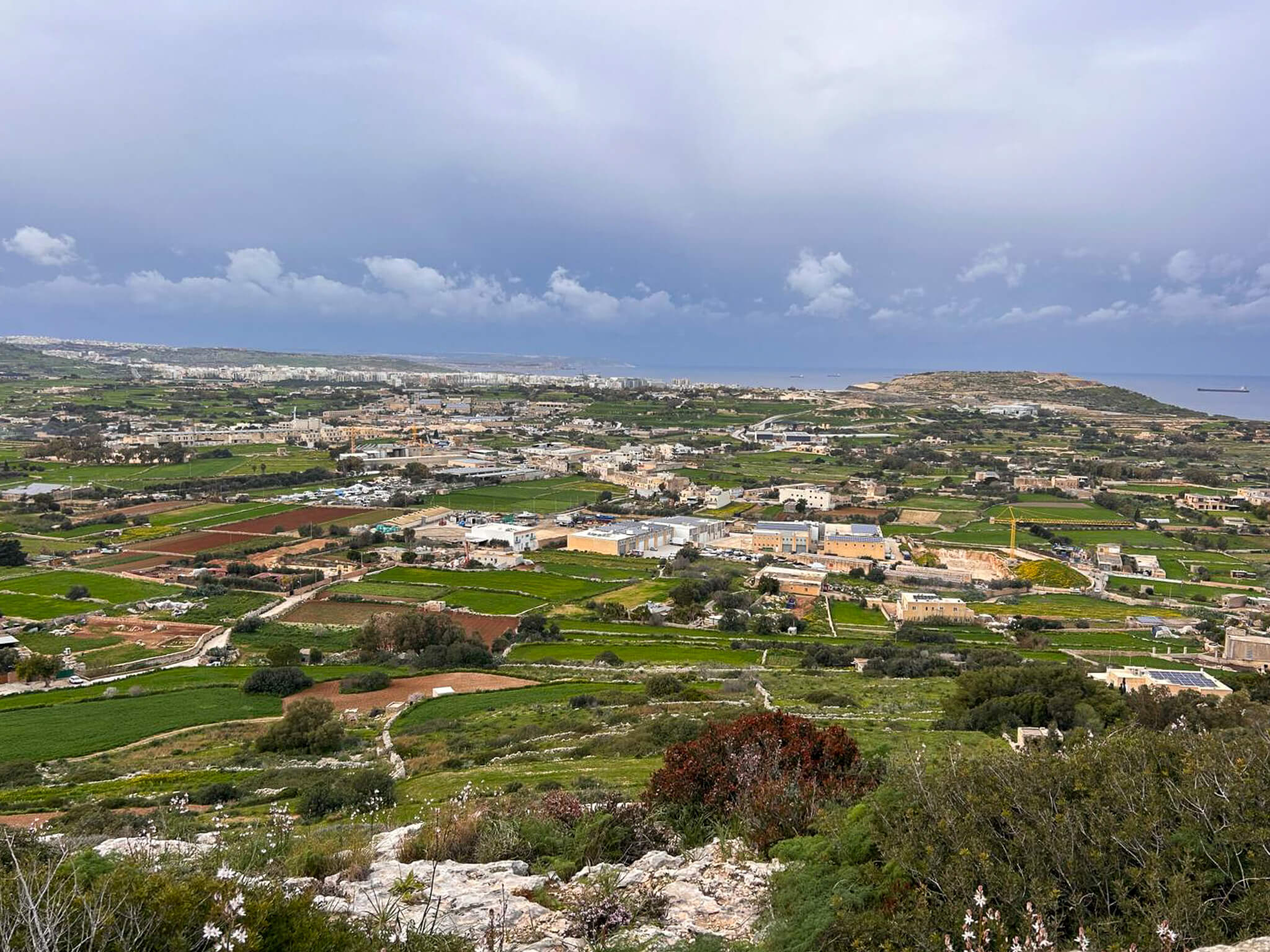
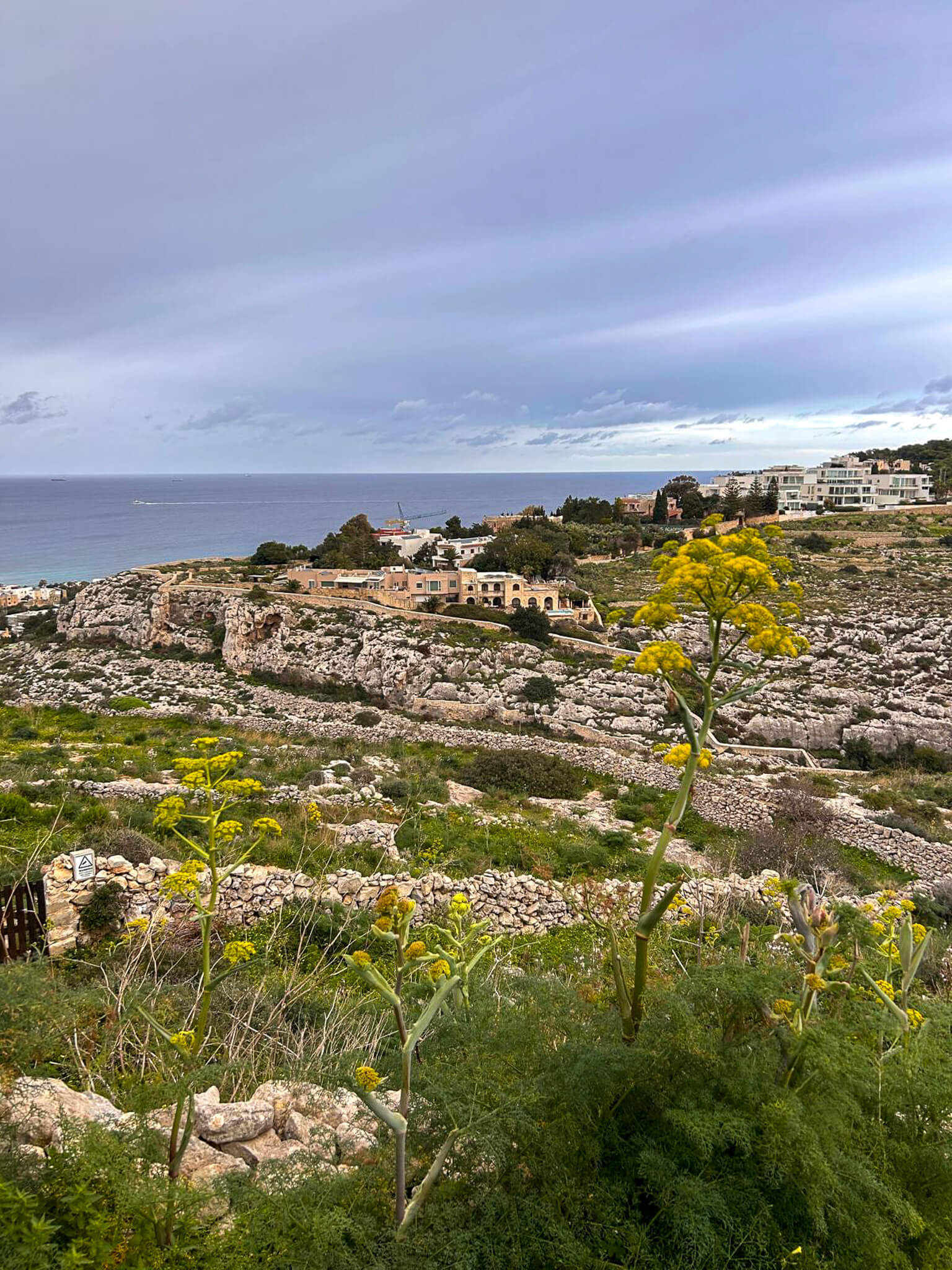
The walk starts in the village of Għargħur and follows quiet streets and rural roads as it heads towards the surrounding countryside. After leaving the built-up area, the route reaches the Victoria Lines, where it follows cliff-edge paths and limestone ridges with wide views across northern Malta. The walk passes the “Top of the World” viewpoint, offering panoramic views over valleys, farmland and the distant coastline. From here, the route continues along a mix of rocky paths and rural tracks, passing old military features, caves and natural formations carved into the cliffs. The walk then loops back towards Għargħur, descending gradually through open countryside and returning to the village. The total distance of the walk is approximately two kilometres.
Practical advice
This route includes rocky and uneven terrain, narrow paths and sections close to exposed cliff edges, requiring careful footing throughout. Some parts of the route may be slippery after rain, particularly along limestone rock surfaces. The area is partly exposed, so carrying drinking water and using sun protection is recommended. Walkers should remain on established paths, avoid unstable cliff edges and take care near caves and steep drops. Due to the terrain and exposure, this walk is best suited for confident walkers and should be avoided in poor weather or strong winds.