Keep in mind
Keep your belongings secure and carry a small first aid kit. Always bring enough drinking water and be mindful of the sun, especially during summer, as there is little to no shade along the walks.
Check the weather before starting your walk. Choose a walk that suits your ability and stop if it becomes too challenging.
Route description
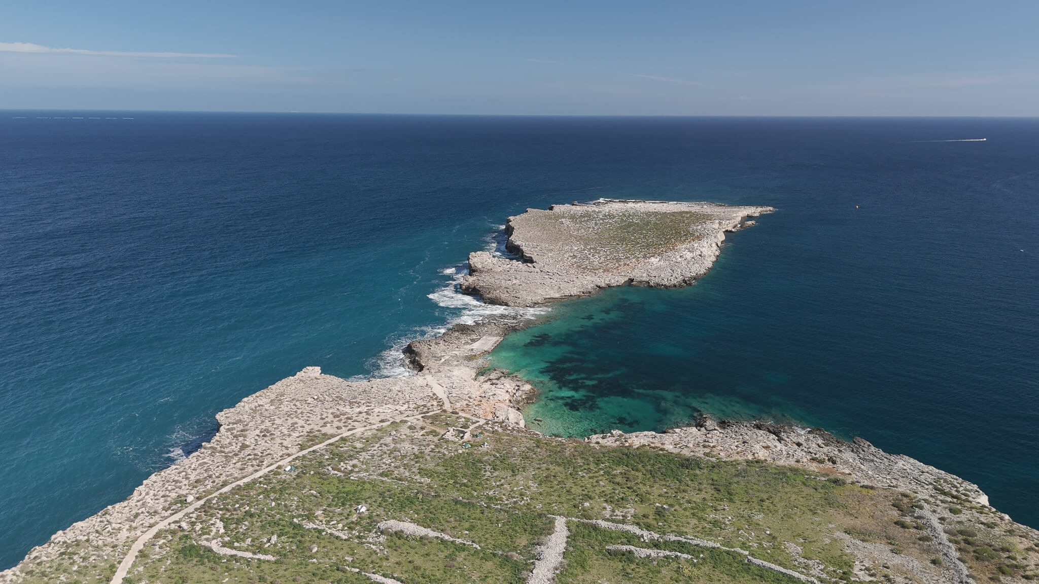
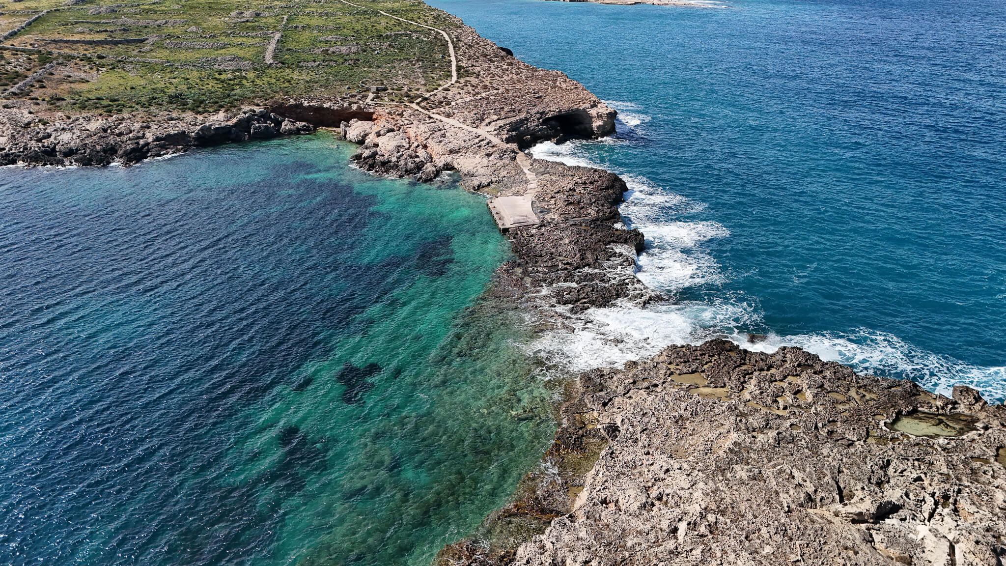
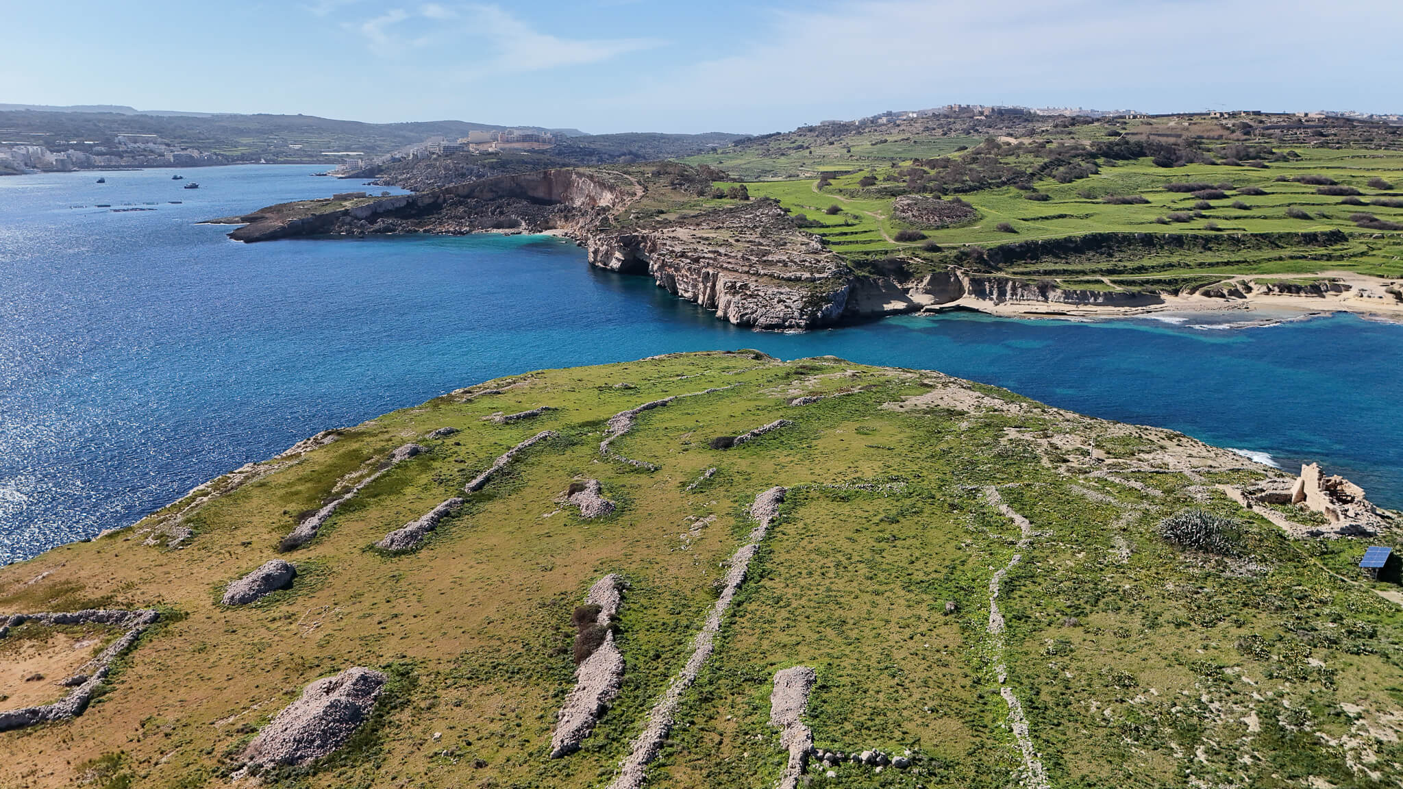
The walk starts near Mistra Bay and follows the coastal path northwards along the shoreline towards the St Paul’s Island crossing point. Along the way, the route passes rocky coastal terrain, open sea views and viewpoints overlooking the bay and surrounding coastline. After reaching the crossing area, the route continues onto St Paul’s Island, where the trail follows the island’s rocky paths towards the far end, passing the statue area and several exposed viewpoints. The route then returns along the same direction towards the mainland and finishes back near the starting point at Mistra Bay. The total distance of the walk is approximately three kilometres, depending on the exact route taken on the island.
To find out more about the route, you may purchase Trek Deck Malta cards from here
Practical advice
This route includes uneven terrain, rocky coastal paths and exposed sections near the sea, so careful footing is required throughout. Reaching St Paul’s Island involves a water crossing, and conditions can change quickly depending on waves, current and boat traffic. Walkers should only attempt the crossing in calm and safe conditions and must remain alert for passing boats at all times. The area offers little shade, so drinking water, sun protection and sturdy footwear are essential. Parts of the island are exposed, rocky and uneven, making this route better suited for confident and experienced walkers.