Get your free trail here
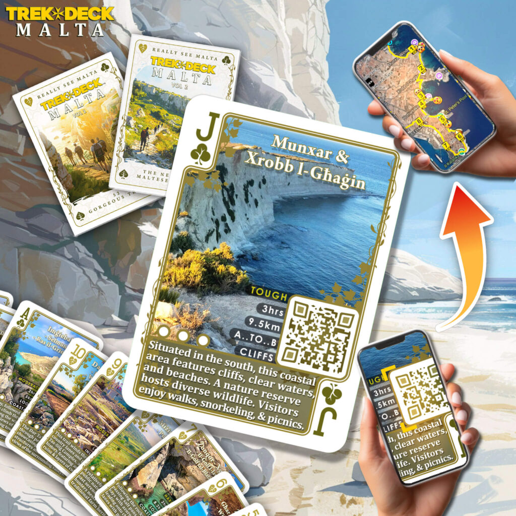
Scan or Click on the card in order to get your free trail. Visit Trek Deck for more info.
Keep in mind
Keep your belongings secure and carry a small first aid kit. Always bring enough drinking water and be mindful of the sun, especially during summer, as there is little to no shade along the walks.
Check the weather before starting your walk. Choose a walk that suits your ability and stop if it becomes too challenging.
Route description
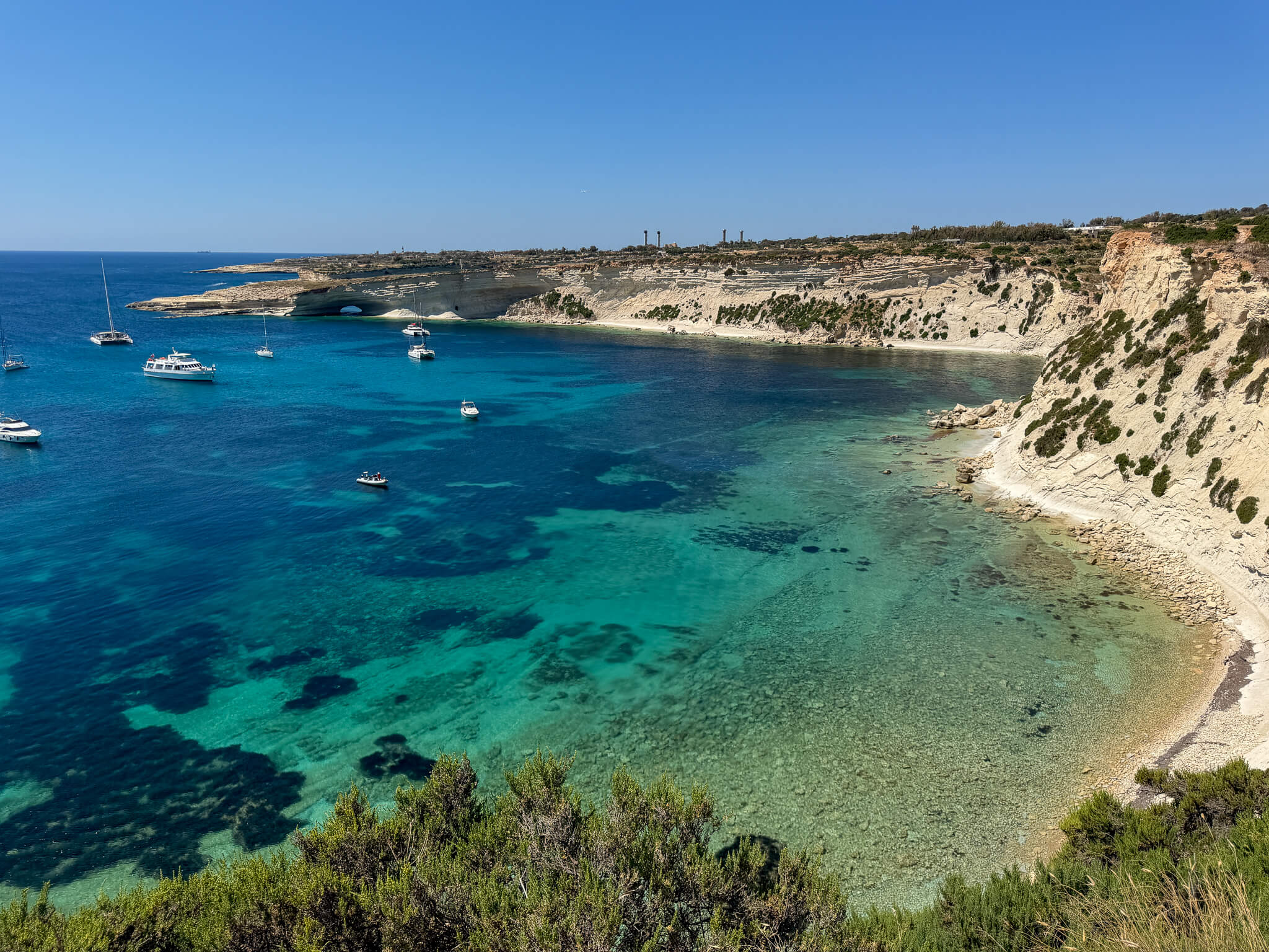
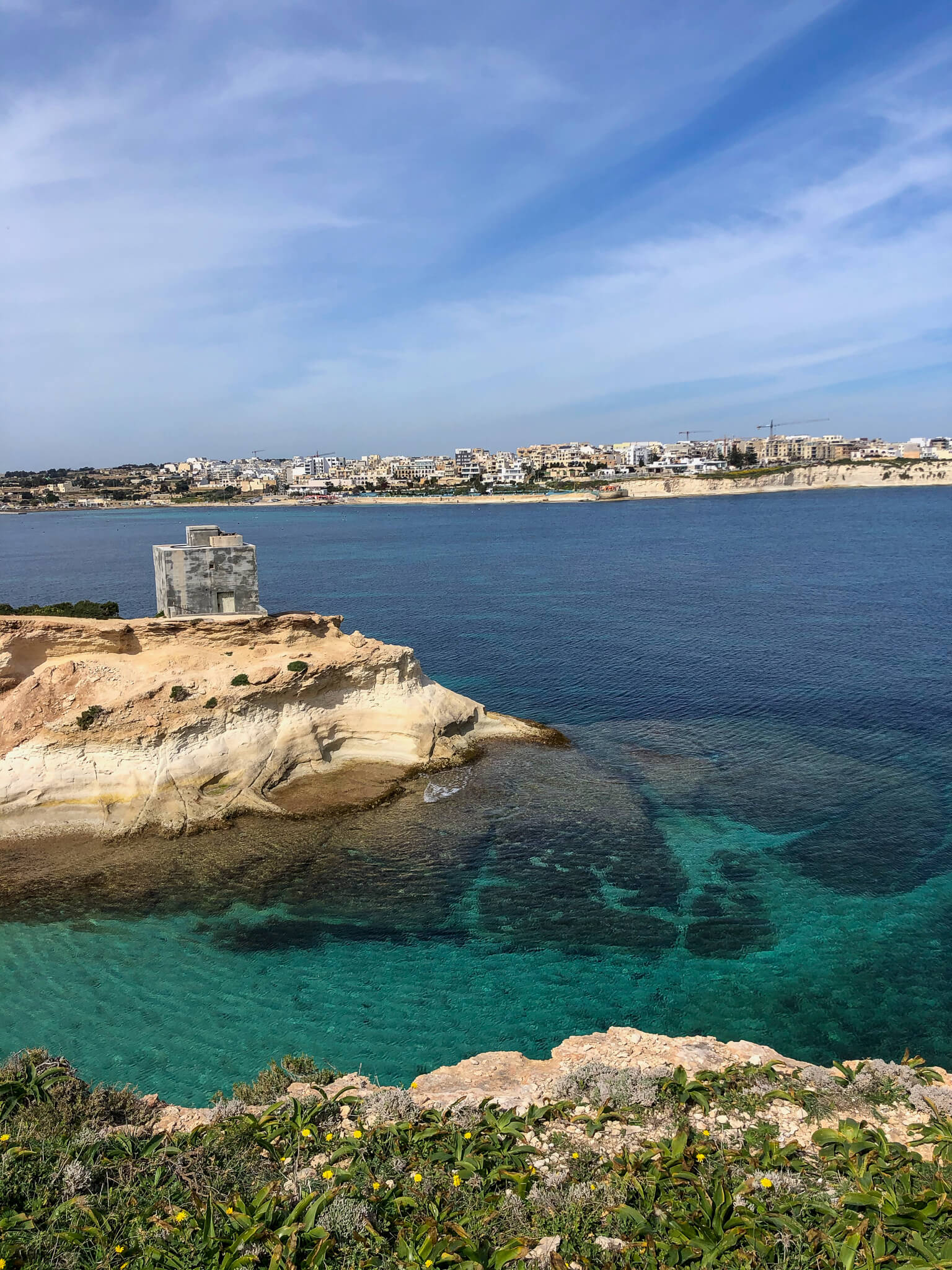
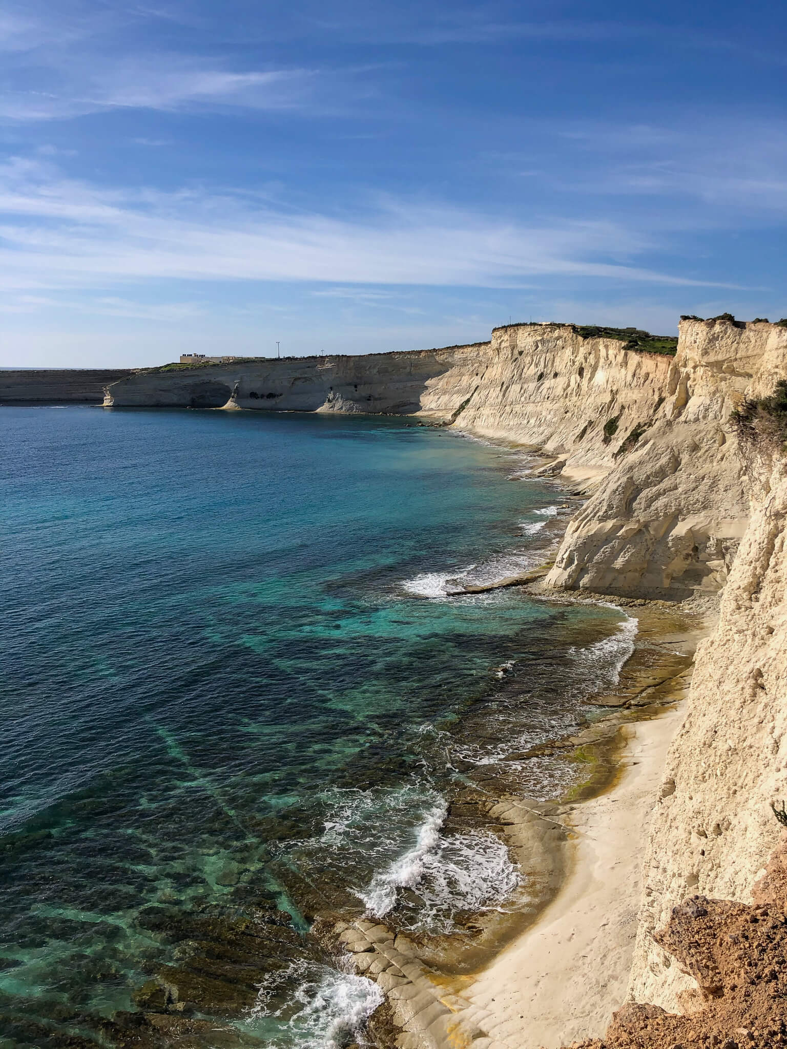
The walk starts at St Thomas Bay, following coastal paths southwards along the rocky shoreline. After leaving the bay, the route continues along low cliffs and uneven coastal ground, passing small inlets and natural rock formations with constant views over the open sea. The walk reaches the Xrobb l-Għaġin headland, where the coastline becomes more rugged and exposed, and several viewpoints, caves and photo spots can be found along the way. From here, the route turns gradually inland, following paths and minor roads through the Delimara area before descending towards Marsaxlokk. The final section leads through the outskirts of the fishing village, finishing near the waterfront. The total distance of the walk is approximately nine kilometres.
Practical advice
This route includes long stretches of rocky coastal terrain, uneven paths and sections close to exposed cliff edges, requiring careful footing throughout. Much of the walk is unshaded and exposed to sun and wind, so walkers should carry sufficient drinking water and use appropriate sun protection. Some coastal sections can be slippery, particularly after rain or during rough sea conditions. Walkers should stay on established paths, avoid unstable cliff edges and respect restricted or private areas. Due to the length and exposed terrain, this walk is best suited for confident and reasonably fit walkers and should not be attempted in poor weather or strong winds.